Dadu, China: the Yuan capital in today’s Beijing
Find Yuan Dadu in modern Beijing: compare Dadu and Khanbaliq, wall remains, Jishuitan, Wanning Bridge and the later Ming–Qing city.
Are Dadu, Khanbaliq and Beijing the same place?
Yuan Dadu was Kublai Khan’s capital in what is now Beijing. Dadu means “Great Capital”; Khanbaliq, also written Khanbalik, means “City of the Khan.” These names do not point to two distant cities.
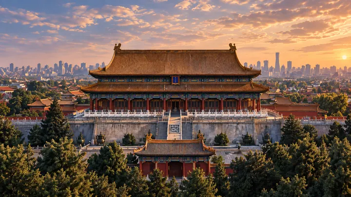
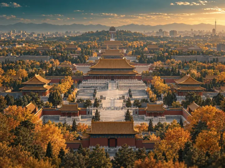
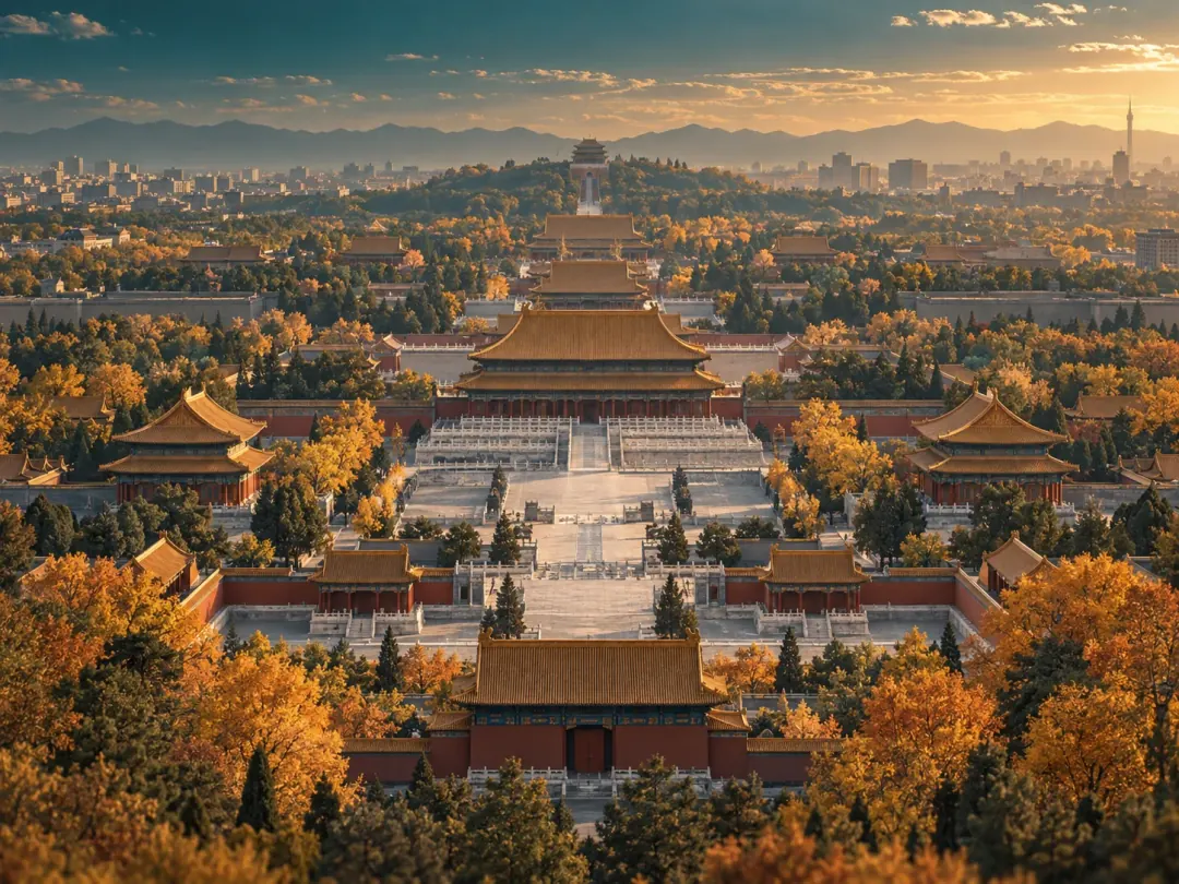
The important distinction is scale and period. Dadu had its own walls, palace precinct and waterways. Ming and Qing Beijing changed that layout, while modern Beijing extends much farther. The Forbidden City belongs to the later Ming–Qing palace complex, not a surviving palace of Kublai Khan.
| Name | Meaning and context |
|---|---|
| Dadu | The Yuan capital, located in present-day Beijing. |
| Khanbaliq | “City of the Khan,” another name for the capital. |
| Beijing | The modern city name; its present extent is not the area enclosed by Dadu’s walls. |
Three dates that explain Dadu
Separate construction, naming and transport. Building began in 1267, the city was named Dadu in 1272, and the Tonghui Canal opened in 1293. A capital emerged through successive projects, not one moment of completion.
Walls and palaces expressed power, but a large city also needed regular supplies. Reading a wall alongside a waterway reveals two different tasks: defining the capital and connecting it to places beyond its boundaries.
| Year | What changed |
|---|---|
| 1267 | Construction of the new capital began. |
| 1272 | The capital received the name Dadu. |
| 1293 | The Tonghui Canal opened, improving the water connection between Tongzhou and the capital. |
Where can you see Dadu’s walls today?
The Yuan Dadu City Wall Relics Park preserves traces of the old enclosure in today’s Haidian and Chaoyang districts. The Yuan walls were built from rammed earth. When the northern boundary moved south in the early Ming period, parts of the older enclosure remained outside the new city.
Look for earthworks and their relationship to surrounding streets rather than an intact, towering brick wall. The surviving line makes an earlier urban boundary visible.
Paths, landscaping and interpretation belong to the park’s modern use and conservation. Distinguish those features from the old earthworks, stay on open paths and do not climb the remains.
How did grain boats reach the capital?
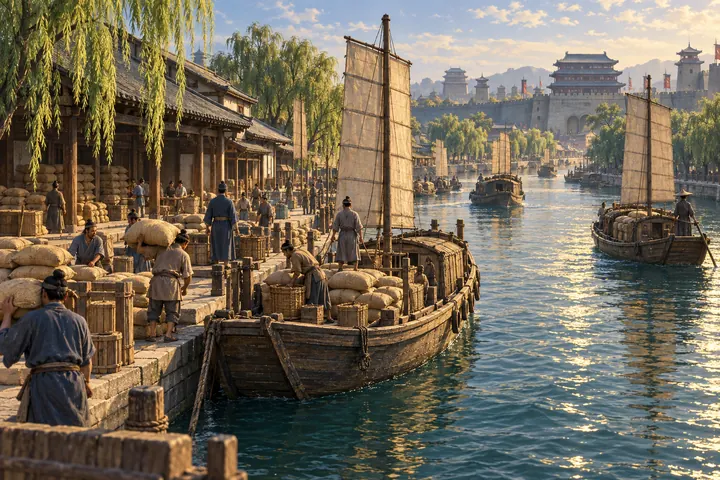
The Tonghui Canal, developed under Guo Shoujing and opened in 1293, linked the Tongzhou area with Dadu. Jishuitan was an important destination within this system. Wanning Bridge stands by a waterway junction on the eastern side of Shichahai. Channels, locks and water-level management all mattered to transport.
This changes the question from “Where did the emperor live?” to “How was the city supplied?” The sequence below summarizes historical connections. It is not a continuously navigable or walkable route today.
- Tongzhou
A transport connection east of the capital.
- Tonghui Canal
Linked Tongzhou and Dadu, with water levels managed along the way.
- Wanning Bridge area
A waterway junction east of Shichahai.
- Jishuitan
A key place for understanding transport within the Yuan capital.
How did Yuan, Ming and Qing Beijing differ?
Beijing was not rebuilt on an empty site whenever a dynasty changed. Yuan planning and waterways provided foundations; Ming builders altered boundaries and created a new palace complex; Qing rulers continued using and modifying that palace landscape. Neighboring sights can belong to very different building phases.
Ask three questions at a monument: when did this place first acquire its role, when was the structure in front of you built, and what was repaired later? The distinction turns a skyline into a history of change.
| Period | Urban change | Start with |
|---|---|---|
| Yuan | Dadu’s construction combined an enclosure with transport infrastructure. | Dadu earthworks, Jishuitan and the Tonghui Canal. |
| Ming | Changed boundaries and a new palace complex; the capital moved to Beijing in 1421. | The Yongle building program and palace. |
| Qing | Continued use, alteration and additions to the Ming palace complex. | Historical layers in the Forbidden City and along the Central Axis. |
Where should a first-time reader begin?
Start with the walls if you want to understand the city’s extent. Follow the waterways to explore everyday supply. Then turn to the Central Axis and later palaces for questions about ceremony and architecture. Together, these subjects describe a changing city rather than a checklist of sights.
For a visit, choose one or two places that answer your main question. The wall park and Shichahai are not a single visitor complex, and palace sites have their own entrances and reservation arrangements. Check access and opening information separately before setting out.
Beijing: from Yuan capital to Ming palace and frontier
Follow Dadu’s walls and waterways into the Central Axis, the Ming palace and the Great Wall. This is a reading sequence, not a one-day itinerary.
- Dadu, China: the Yuan capital in today’s BeijingYou are here
Locate Dadu through its names, extent and remains.
- Guo Shoujing and the Tonghui River →
Explore the capital’s water supply and transport.
- What Is Beijing’s Central Axis? History and Places to See →
Recognize successive building phases along the city axis.
- When Was the Forbidden City Built? Yongle’s Beijing →
Understand why the Ming palace is not the Yuan palace.
- Why Was the Ming Great Wall Built? Towers, Passes and Length →
Move from the capital to northern frontier defenses.
Follow the connections